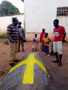
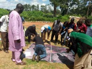
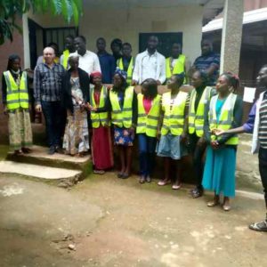
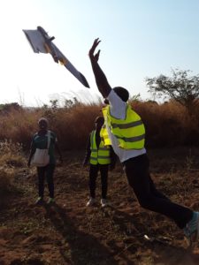
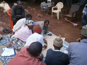
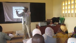
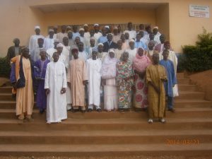
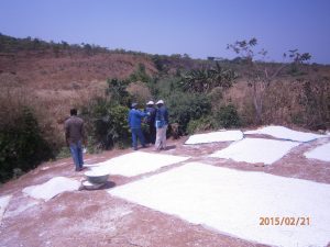
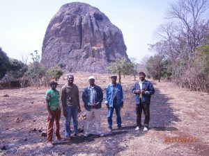
Our activities, carried out mainly in rural and urban areas are done with the help of the local actors beneficiaries (populations, traditional authorities, administrative authorities, personalities of the civil society, ...). The collected data are geo-referenced in GIS databases that allow cartographic productions, real tools for decision support.
Click on one of the images below to enlarge it