Etudes démographiques
Our Local Support Agency provides clients with its expertise in survey methods by promoting the interest of sociology and demography. This service consists in informing, guiding and training methodological tools (Questionnaires, interview guides) and more broadly in the socio-demographic approach of a population, a social fact.
SIG et Cartographie
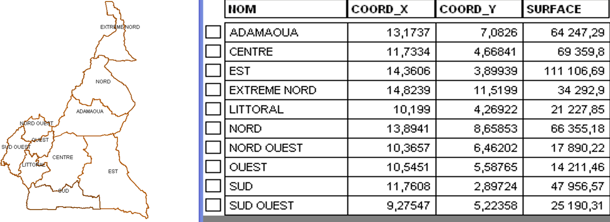
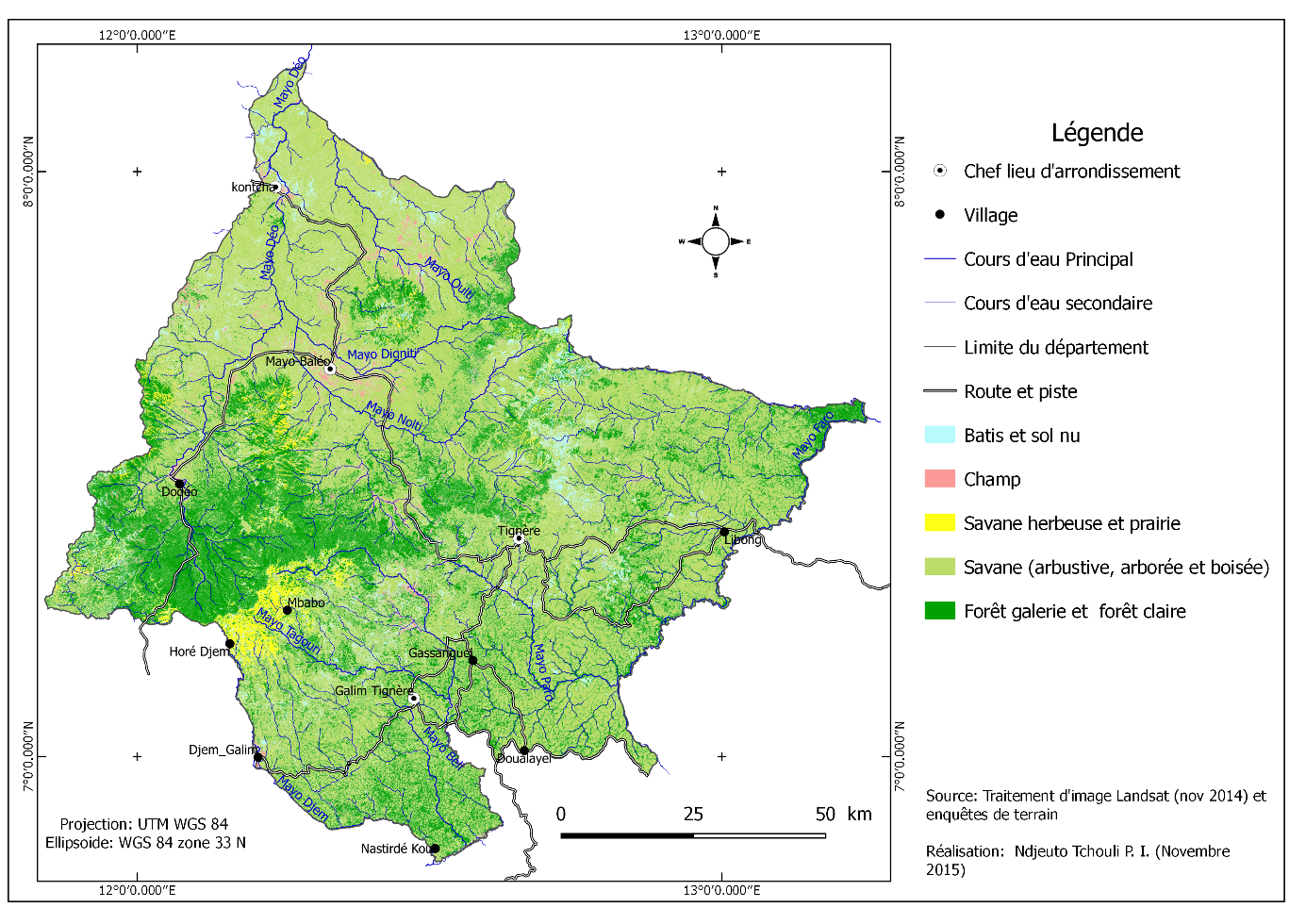
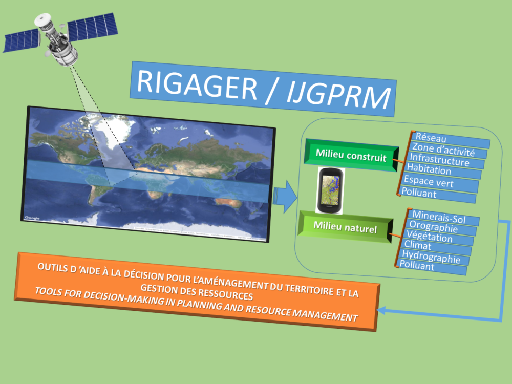
Our organization realizes and exploits Geographic Information System (GIS) databases to produce decision support tools for resolving conflicts between development actors. Basic sources of information are topographic maps, satellite images, aerial photographs, GPS surveys and surveys, interviews and field observations.
Télédéctection
Notre groupe fait également dans la télédétection à travers le téléchargement des images, le traitement des images et la cartographie diachronique.
Realization of PCD
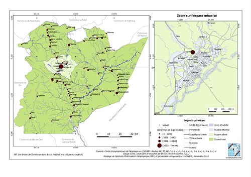
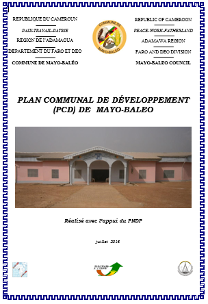
L’ACAGER a à son actif déjà huit plans communaux de développement (PCD) réalisés avec l’aide des acteurs locaux bénéficiaires (populations, autorités traditionnelles, autorités administratives, personnalités de la société civile, etc).
Popularization of scientific research
Regarding the dissemination of scientific and development information, ACAGER is responsible for:
Inventory of natural resources